


Chart Industries
Chart Industries is a leading global manufacturer of highly engineered equipment, and…
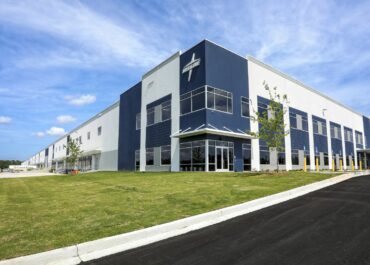
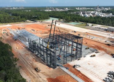
Medline (Richmond Hill, GA)
LJB provided structural design, equipment installation and tenant build-out for this…

Bridgeway Station Block A
Bridgeway Station Block A is a mixed-use building that features 37,000…